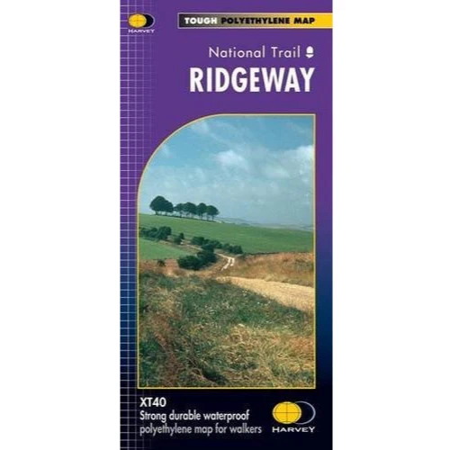
Harvey Maps Ridgeway
Ridgeway edition covering the entire national trail. Covers parts of the A100 and CW50 Courses.
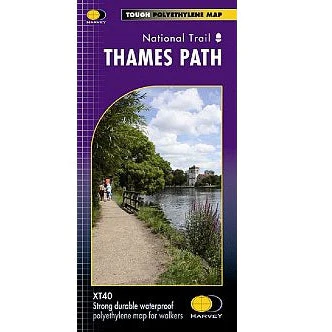
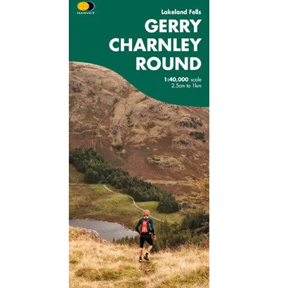
Harvey Maps provide one map for each National Trail in it's entirety - printed on waterproof paper. All you need come recce or race day.
Information on finding accommodation, camping, food. Also Ranger Service contact numbers and enlargements of towns/villages showing facilities available and tips on weather and clothing.
Detailed mapping, full legend. National Grid - can be used with GPS. 1:40,000 scale. Waterproof but much lighter than a laminated map. Supplied in clear plastic pocket.
Original: $15.00
-65%$15.00
$5.25Harvey Maps Ridgeway
Ridgeway edition covering the entire national trail. Covers parts of the A100 and CW50 Courses.
Harvey Maps provide one map for each National Trail in it's entirety - printed on waterproof paper. All you need come recce or race day.
Information on finding accommodation, camping, food. Also Ranger Service contact numbers and enlargements of towns/villages showing facilities available and tips on weather and clothing.
Detailed mapping, full legend. National Grid - can be used with GPS. 1:40,000 scale. Waterproof but much lighter than a laminated map. Supplied in clear plastic pocket.
Product Information
Product Information
Shipping & Returns
Shipping & Returns
Description
Ridgeway edition covering the entire national trail. Covers parts of the A100 and CW50 Courses.
Harvey Maps provide one map for each National Trail in it's entirety - printed on waterproof paper. All you need come recce or race day.
Information on finding accommodation, camping, food. Also Ranger Service contact numbers and enlargements of towns/villages showing facilities available and tips on weather and clothing.
Detailed mapping, full legend. National Grid - can be used with GPS. 1:40,000 scale. Waterproof but much lighter than a laminated map. Supplied in clear plastic pocket.